
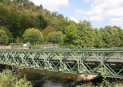
Most travelers heading to the Vosges region in northeastern France are looking for ski slopes or hiking trails in the Grand Est region. They might stop in Nancy or explore the medieval streets of Épinal. But there is a quieter town about 40 kilometers southeast of Nancy that holds a piece of cartographic history most people have never heard of.
Saint-Dié sits on the banks of the Meurthe River. It is not flashy. It does not have a massive population anymore. In 1999, the town counted 22,569 residents. By 2014, that number had dipped to roughly 20,315.
Yet, this modest département capital matters. It is the spot where the world’s map changed permanently.
The Birth of a Continent Name
If you are interested in how geographic names evolve, Saint-Dié is a pilgrimage site. In 1507, the German cartographer Martin Waldseemüller set up shop here. He did not just draw maps; he printed them.
He published a pamphlet called Cosmographiae introductio. Inside that document was a world map that did something revolutionary. It labeled the newly discovered lands of the Western Hemisphere as “America.”
This was the first time the name appeared in print. Before this moment, those lands had other names, or none at all in European consciousness. Waldseemüller chose the name to honor Amerigo Vespucci, the Italian explorer who mapped the coast of South America. The rest is history.
For a traveler planning a trip to this part of France, this is a concrete detail that separates a standard sightseeing tour from a historically literate one. You can trace the origins of modern geography to a small printing press in a Vosges town.
Resilience in Stone and Industry
The town itself has survived its own share of destruction. It grew around the monastery of Saint-Deodatus, also known as Dieudonné, which dates back to the 7th century. The name Saint-Dié comes directly from this religious root. It served as a bishop’s see for centuries.
World War II took a heavy toll on the architecture. The medieval cathedral was destroyed. It never came back.
But one building held on. The Romanesque Notre-Dame church, dating from the 12th century, survived the war. If you walk through Saint-Dié today, that stone structure is a reminder of what endured. It stands as the town’s primary historical anchor.
Beyond the stones, Saint-Dié has reinvented its economy multiple times. In the early days, it was an industrial hub. It had a printing industry dating from the 16th century, which made it the perfect place for Waldseemüller to work.
Later, the economy shifted to textiles and food products. These were the traditional pillars of local employment.
Today, the economy looks very different. You will find factories producing plastics, automotive parts, and computer software. The town hosts a technological university, signaling a shift toward knowledge-based industries. This evolution from printing presses to software hubs mirrors France’s broader economic transition.
Why Visit Saint-Dié Now?
You might wonder why a traveler should detour for this town. The answer lies in scarcity and depth