
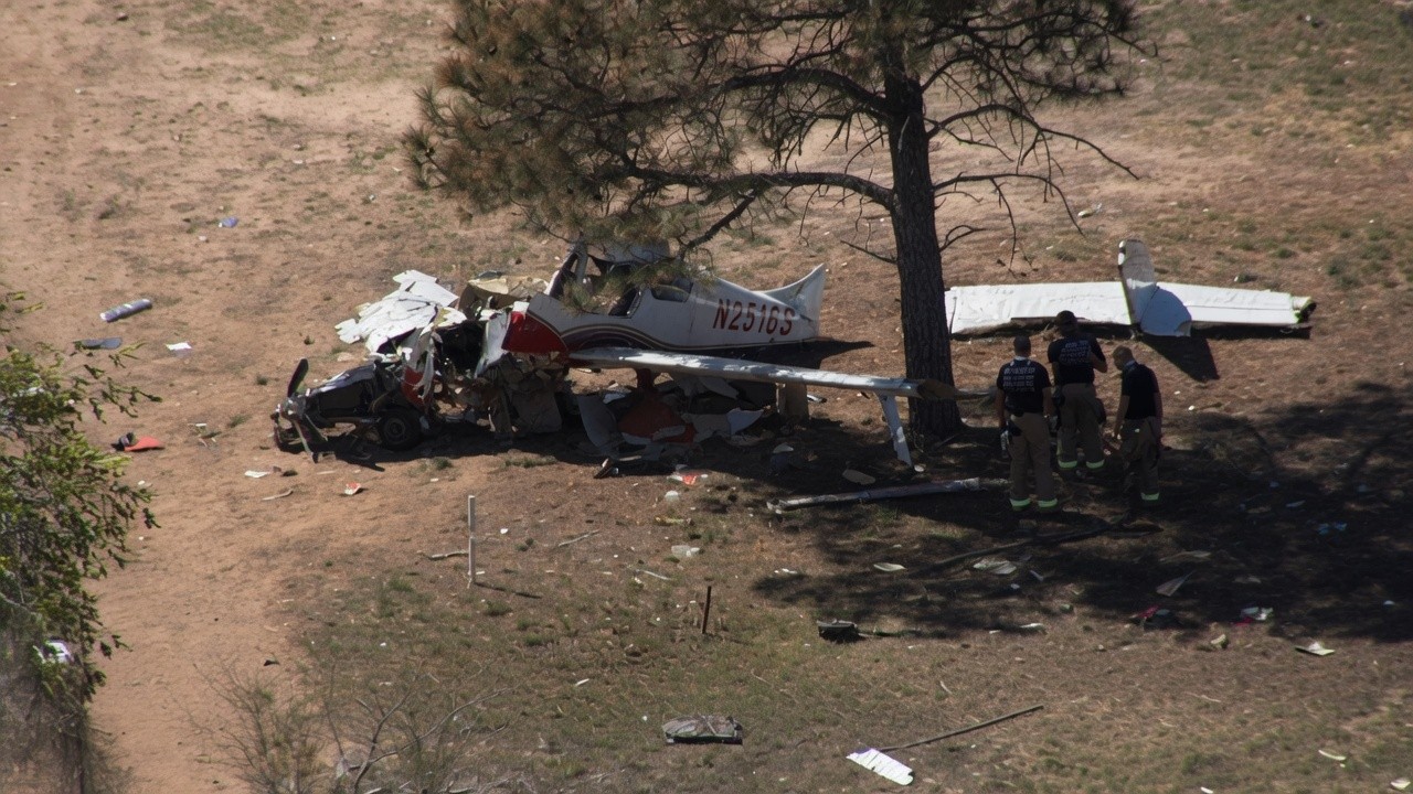
A U.S. military test of an experimental GPS jammer didn’t just scramble signals. It led directly to the destruction of a civilian medical flight in New Mexico. The result was a fatal crash into a mountain, a massive wildfire, and four dead.
On the night of May 14, a medevac plane lost its navigation links. ATC saw the problem. They asked the military to pause the test. But five minutes later, the aircraft was gone. It flew into the side of the Capitan Mountains. Everyone on board died.
The cause? Probably pilot error. But the military’s actions made the mistake easier to make. And the aftermath was catastrophic.
The Flight That Never Landed
The plane was a Beechcraft King Air C99, registration N249CP. It sat at Roswell Air Center when the mission started. The job was simple enough on paper: fly 50 nautical miles up to Sierra Blanca Regional Airport. Pick up a patient. Fly them to Albuquerque.
Onboard were two pilots and two flight nurses. Four people. All of them died when the plane hit terrain at roughly 9,960 feet. The crash ignited the Seven Cabins Fire.
It wasn’t a mechanical failure. The controls worked. The plane was flying in visual conditions, sure. But it was a moonless night over dark, rugged terrain. The GPS jammer knocked out the navigation. The plane’s ADS-B position updates slowed to a crawl. Then they stopped.
Air traffic control knew something was wrong. Just after midnight, controllers told the pilots they were too high—13,000 feet when cleared for lower. The crew said they were fixing it. They needed a heading. They asked for a GPS approach to Runway 2. Impossible now.
The Jamming Test
This was NAVFEST. The Navy’s annual warfare navigation exercise. Held at the Army’s White Sands Missile Range for over two decades. That night, they were testing something experimental. The military won’t say what.
The FAA had warned everyone. A NOTAM in the ForeFlight briefing said GPS could be gone within 240 nautical miles. Even near the ground. The test zone was only 60 miles from Sierra Blanca. The pilots knew.
So what happened in those five critical minutes?
12:01 a.m.: Controller asks supervisor to stop the jamming.
12:05 a.m.: Supervisor calls the military. The test stops.
12:07 a.m.: GPS returns. Updates normalize.
The plane was still 31 miles away. The pilots radioed in. They spotted Ruidoso. They could see the lights. “We can go visual,” they said.
ATC cleared them for a visual approach. The pilots turned toward the airport. And toward a mountain range standing between them and the runway.
A Dead End
Three minutes later, the supervisor told the military to resume. The jamming started again. The plane started descending from 12,000 feet toward terrain that stood 10,000 feet high.
They hit the mountain.
There might not have been a safe option here. Think about the setup. The military test was happening during a known interference window. The destination weather station was offline. The two instrument approaches available at Sierra Blanca were both useless.
The GPS approach? Blocked by the jammer.
The ILS (Instrument Landing System)? Useless without an active altimeter setting at the airport. Which was down.
You send a medevac flight into a known electronic warfare test zone. At night. Over mountains. With no way to land safely if the sky goes dark. What did you expect?
Who’s To Blame?
Don’t let the military off the hook. They removed a key safety tool from the pilots’ toolkit. On purpose. It confused multiple aircraft. It overloaded controllers. And they allowed the jamming to restart before the plane even landed. Or filed for instrument flight rules to end. That’s on the process. That’s on the FAA-military coordination.
But the pilots flew the plane into a wall.
GPS loss is an abnormal condition. Pilots train for it. They aren’t supposed to descend toward 10,000-foot peaks on a visual approach from 30 miles out on a moonless night. Especially when the ground ahead is unknown. They accepted a descent path they shouldn’t have taken.
The NTSB final report is still coming. It will likely list the probable cause as the crew’s failure to maintain terrain. GPS jamming will be a contributing factor. Night conditions will be listed. Procedure gaps will be flagged.
This is the first fatal U.S. civilian crash linked to deliberate GPS interference. The military’s electronic warfare exercises are expanding. They’re testing more powerful jammers. They’re pushing further into civilian airspace.
If you fly at night, near testing ranges, or when the GPS signal drops… where do you turn? The sky goes dark. The lights vanish. The instruments lie or disappear.
The fire burned 31,860 acres. It took nearly a month to contain. Over 1,000 personnel fought it. A huge cost for a five-minute lapse in judgment. And a test that never should have restarted while a civilian plane was in the air.
The warnings were there. The advisory was in the briefing. The weather station was broken. The military knew.
We’re still waiting for the full report. But the skeleton is already there.